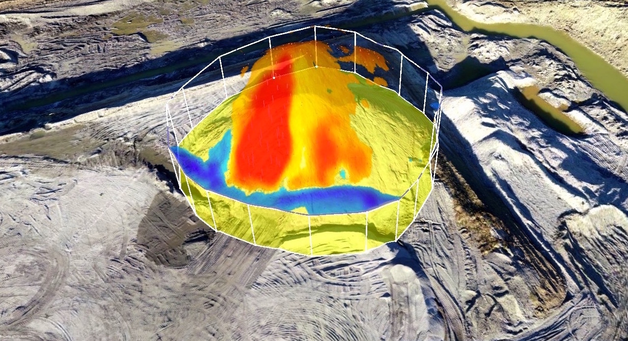
Unmanned Aerial Survey and Mapping
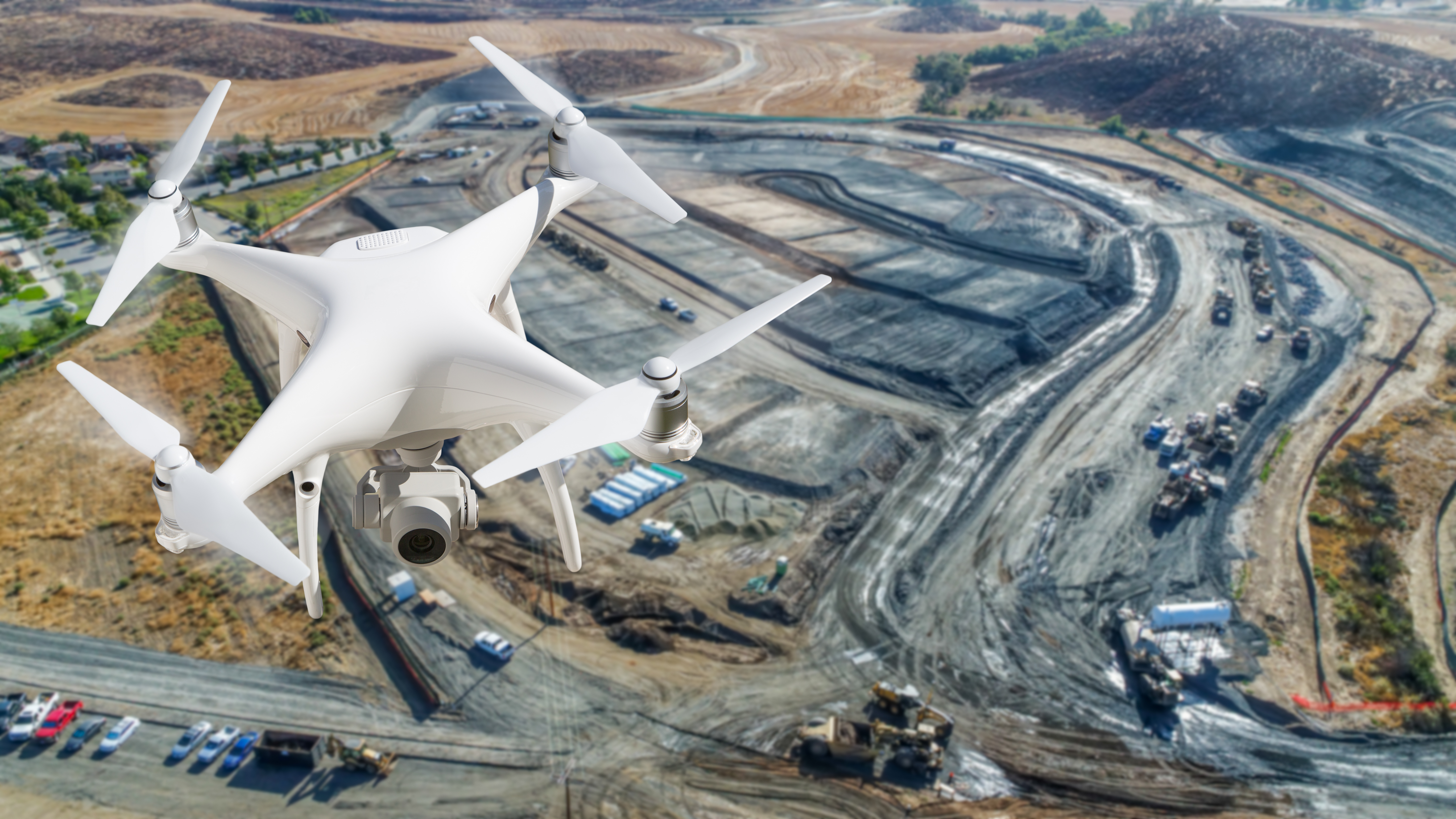
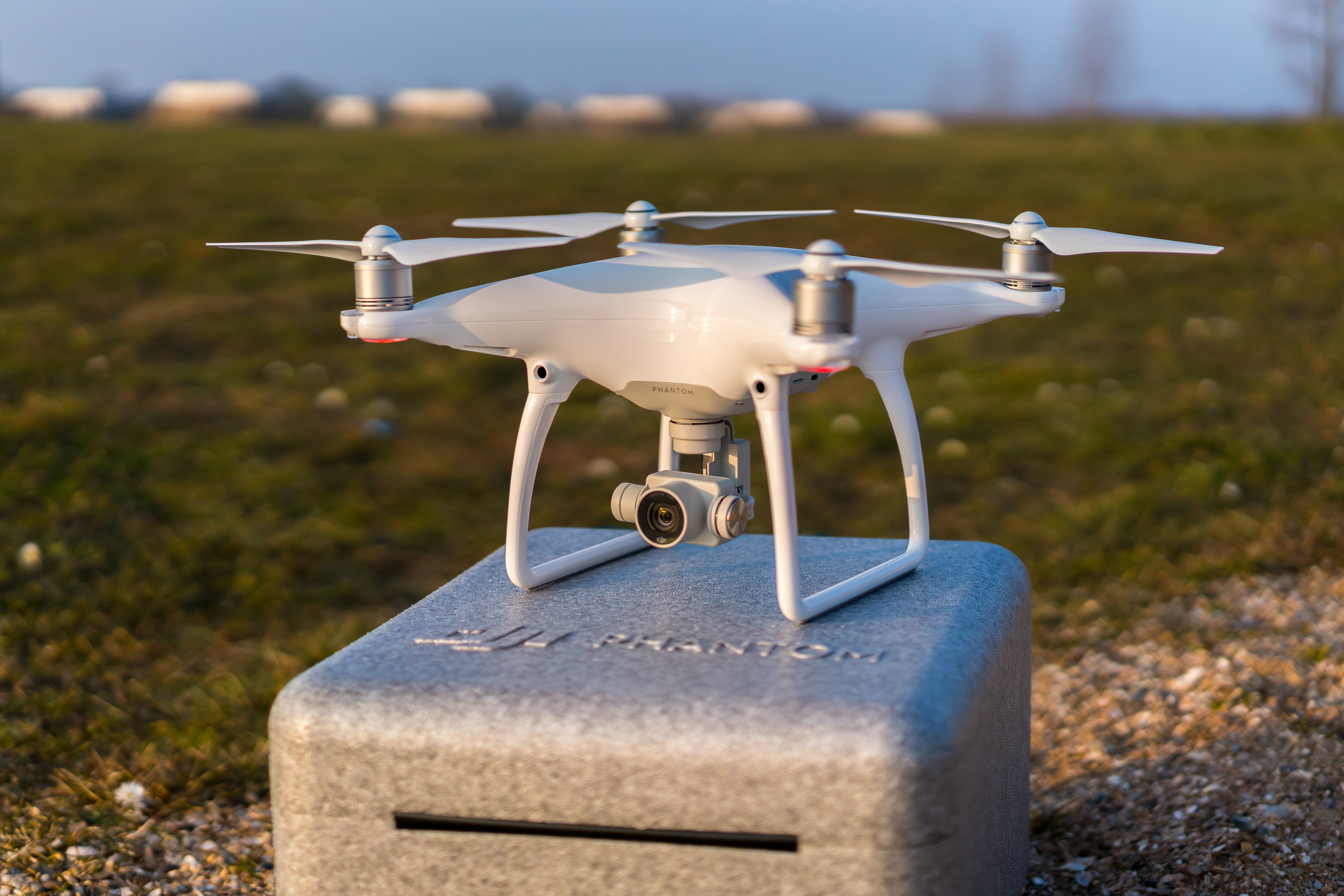
Aureum is capable of providing progress monitoring services utilizing the latest in drone technology. Piloted by our expert certified pilots, our state of the art drones provide high quality aerial imaging and topographic surveys in a faster, and more efficient manner than ever before.
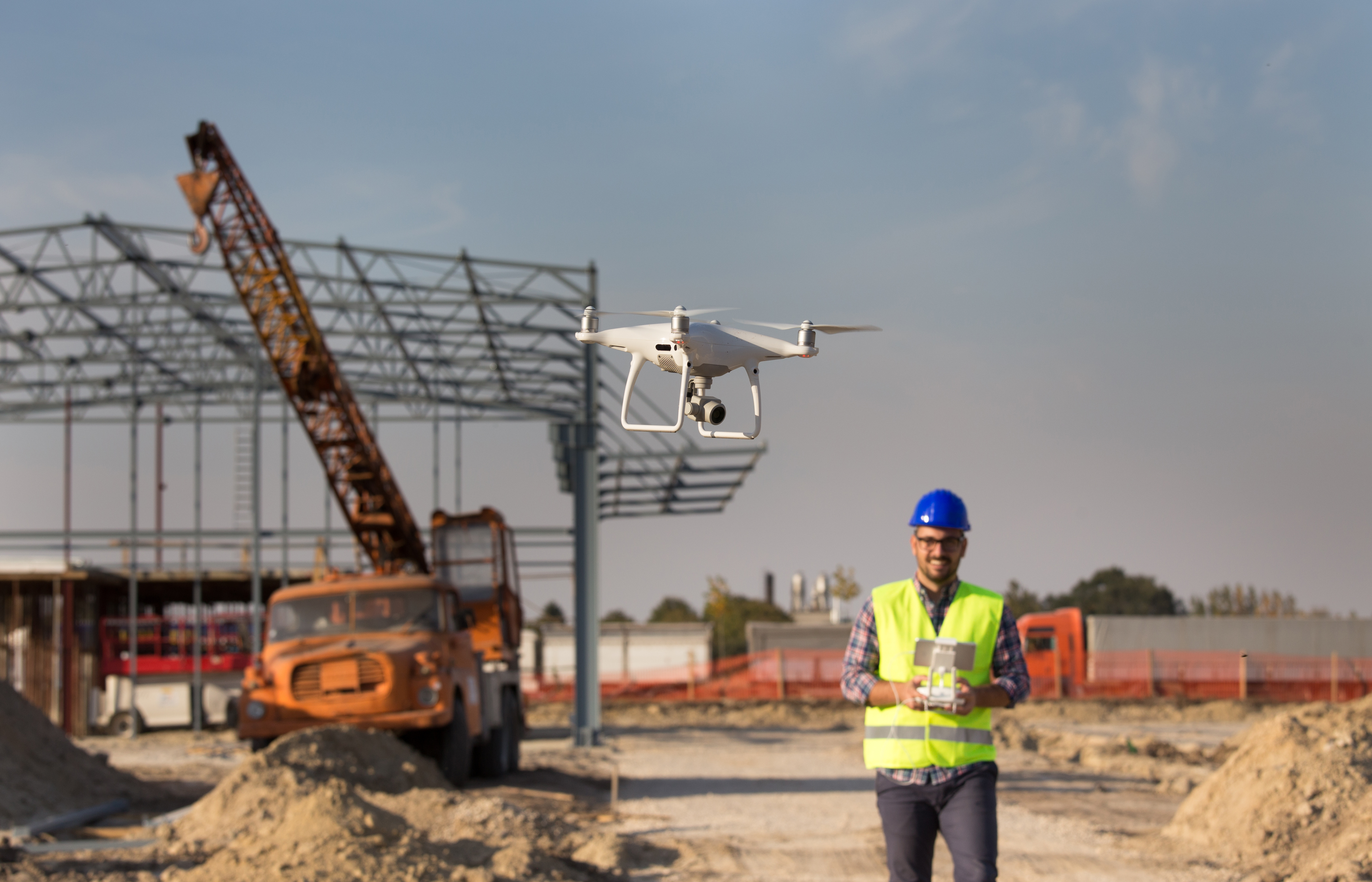
The use of drones provides a greater level of safety to survey teams compared to traditional survey strategies. Utilizing a drone allows the pilot to remain in a safe location while performing the required survey tasks, replacing much of the traditional travel around site that puts the worker at risk of slips, trips, falls and collisions.
This is especially true for high risk sites that contain dangerous terrain, major water hazards, steep terrain or high traffic. Drone survey systems are also able to access otherwise inaccessible terrain, allowing clients the ability to view areas that they were unable to before.
Request a Quote